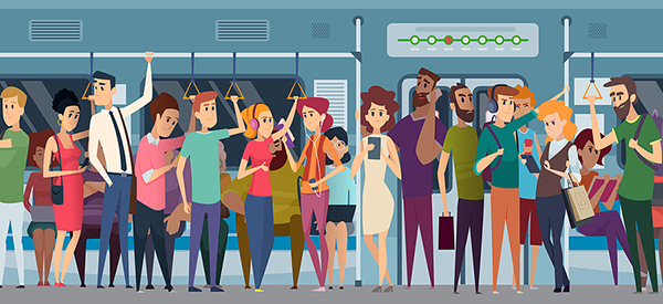
With the COVID pandemic still active, some people may be hesitant to ride on crowded public transit systems. Help may be on the way from Google Maps.
One of the most effective ways to avoid COVID infection is to maintain social distancing from others who might be spreading the disease. This is easier said than done in some cases, especially for those who rely on public transit to get to work and other destinations. It might seem impossible to maintain distance when riding the New York City subway at rush hour. Transit riders may be able to keep their distance thanks to a pilot program being tested by Google Maps. The system is able to track just how crowded different trains might be, and in some cases, with details right down to specific cars. Armed with this information, commuters may be able to make the decision to wait another few minutes for another choice that is less crowded. Currently, Google is testing the service in New York City and Sydney, Australia.


